
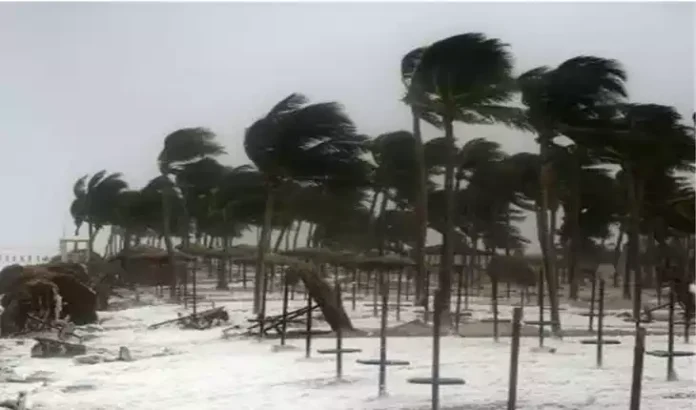

- Odisha has asked collectors in northern, southern and coastal regions to remain vigilant.
- The IMD expects the low-pressure system to intensify into a cyclonic storm over the central Bay of Bengal around November 16 evening.
- Heavy rainfall warnings have been issued for several districts on November 18-20, while fishermen have been advised not to venture into the south Odisha coastal sea on November 17.
Bhubaneswar: The Odisha government has alerted district collectors in coastal, northern and southern parts of the state following an India Meteorological Department (IMD) forecast that a weather system over the Bay of Bengal could intensify into a cyclonic storm around the evening of November 16.
Disaster Management Minister Suresh Pujari said precautionary measures had already been initiated, although the IMD had not yet provided a definite assessment of the system’s possible impact on Odisha.
The minister said district collectors had been instructed to remain vigilant and prepared for any eventuality. He is also scheduled to review the situation with senior officials to assess preparedness and the potential impact of the developing weather system.
Low-Pressure Area Likely to Intensify Into Cyclone
According to the IMD, a low-pressure area formed over the southeast Bay of Bengal and adjoining central Andaman Sea region on Friday morning.
The system is likely to move northwestwards and become a well-marked low-pressure area by November 14. It is then expected to intensify into a depression over the same region around the morning of November 15.
The weather system is likely to move north-northwestwards thereafter and may develop into a cyclonic storm over the central Bay of Bengal around the evening of November 16.
However, the system’s exact track and potential impact on Odisha are yet to be established.
Heavy Rainfall Warning for Several Odisha Districts
The Meteorological Centre in Bhubaneswar has issued a yellow warning for heavy rainfall in Kendrapara and Jagatsinghpur districts on November 18 and 19.
Thunderstorms accompanied by lightning and gusty surface winds of 30-40 kmph are also likely during this period in several districts.
These include Balasore, Bhadrak, Jajpur, Kendrapara, Jagatsinghpur, Cuttack, Keonjhar, Mayurbhanj, Gajapati, Ganjam, Puri, Khurda and Nayagarh.
For November 19 and 20, a yellow warning for heavy rainfall has been issued for Rayagada, Gajapati, Ganjam and Puri districts.
Thunderstorms, lightning and gusty winds may also affect Balasore, Bhadrak, Jajpur, Kendrapara, Jagatsinghpur, Cuttack, Rayagada, Gajapati, Ganjam, Puri, Khurda and Nayagarh during this period.
Rough Sea Conditions, Fishermen Advised to Stay Away
The IMD has forecast squally weather along and off the south Odisha coast on November 17.
Wind speeds are likely to reach 45-55 kmph, with gusts occasionally reaching 65 kmph. Sea conditions are expected to remain rough to very rough.
In view of the forecast, fishermen have been advised not to venture into the sea along and off the south Odisha coast on November 17.
The advisory is an important precaution as the weather system continues to develop over the Bay of Bengal.
Government Monitoring Situation
The state government is monitoring the evolving weather situation and has asked district administrations to remain prepared.
The IMD’s assessment of the system’s movement and intensity in the coming days will be important in determining the possible impact on Odisha.
Residents, particularly those in coastal and southern districts, should follow official weather bulletins and instructions issued by their respective district administrations.
At this stage, the formation of a cyclone is forecast, but its eventual path and impact on Odisha remain uncertain.
You May Like